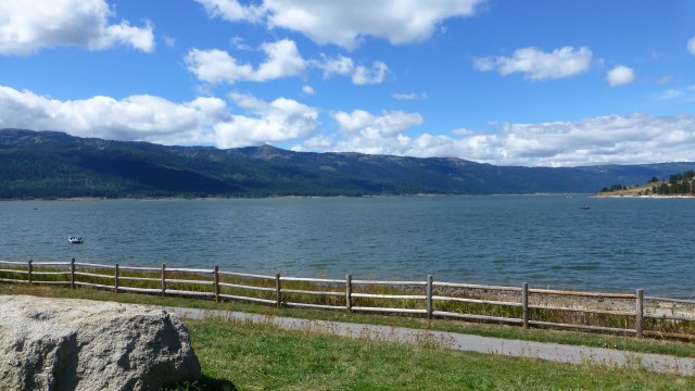
We have seen many different faces of Lake Cascade over the years.
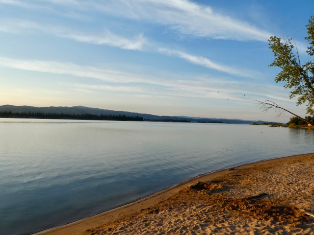 It is generally placid in the morning.
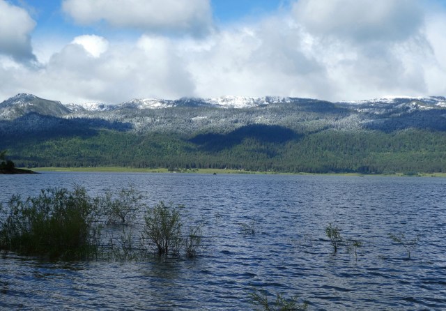 There is usually some wave action in the afternoon and then it calms again in the evening.
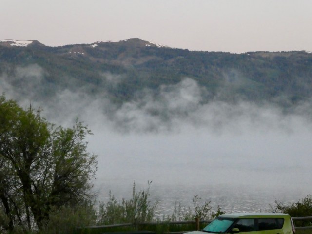 We’ve seen overcast mornings and stormy nights.
 When full, Lake Cascade has 23,307 surface acres of water, 86 miles of shoreline and an average depth of 26.5 feet.
But what is under Lake Cascade? Three towns and an old highway!
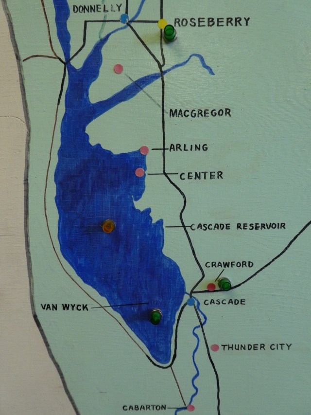 Van Wyck, established in 1882, was a bustling town. When the Idaho Northern Railroad Depot was placed in Cascade, much of Van Wyck moved there.
Center, established in 1895, was so named because it was at the center of Long Valley. It was small but had a store and post office. Arling, two miles from Center, was established in 1914.


Congress approved building the dam on the North Payette River and the remaining residents of Van Wyck, Arling and Center received eviction notices. The Cascade Dam was built between 1946 and 1948. The remains of Van Wyck, Center and Arling were completely submerged by 1957.


There is now a Van Wyck Campground and the former Arling school was moved to Donnelly. It is now the Chalet RV Park Office.
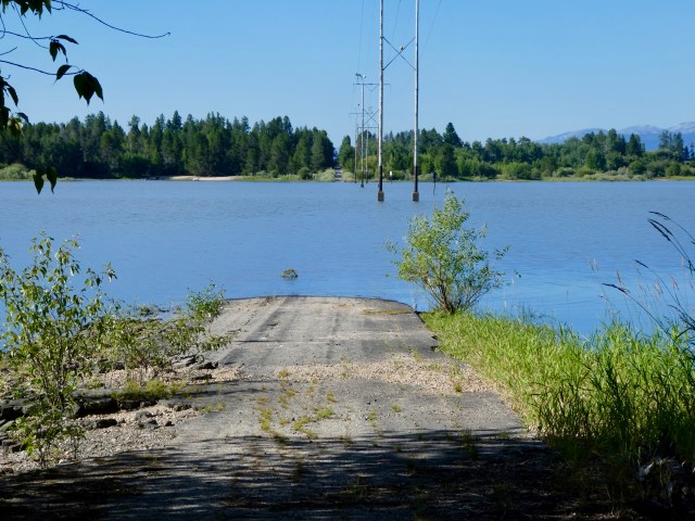 And the highway? An old section of Idaho Highway 55 goes under the lake and reappears a few hundred yards away.
 It disappears near Kent and Pam’s cabin in Donnelly. When the lake is low, they can walk the entire submerged route to the other side. That sounds like something we should do!
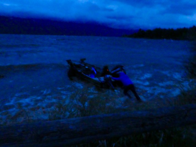
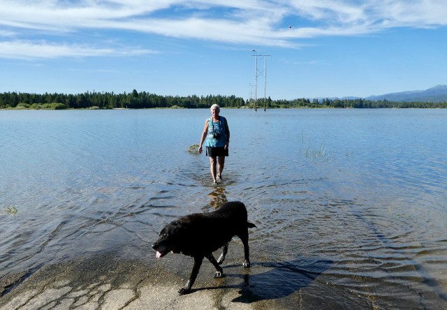 For now, Pam and Elko waded in just a bit!


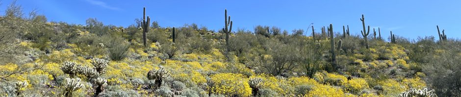
Some osprey guard their nest at the end of the road.
 We went up to Tamarack with Kent and Pam for a free summer concert.
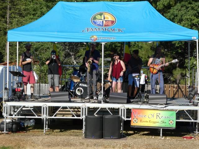 We heard the Boise band, Voice of Reason, playing reggae. It was quite pleasant.
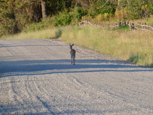 Can you do more critter sightings? This deer and I shared the road on our morning walk.
 A blue heron seemed to like the morning solitude.
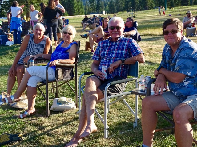
 Not critters – Friends! Mike and Nancy came in for a visit. Mike is responsible for the Life is Good sand writing in the header. Life is good! Thanks for coming out!


I wonder how many submerged ghost towns are under lakes in this country? I did a backpacking trip through what is now the bottom of Lake Georgetown north of Austin just before they started flooding it. There were all kinds of farm houses and other buildings sitting there abandoned. It was very strange.
Very cool that you have the underwater roadway that you can walk. Hope you get the chance!
I always wonder about abandoned houses wherever they are and think about the people who used to live there and what happened that it is now empty. I guess if they are flooding your town or farm at least that part of the question is answered!
Nobody has mentioned that near the dam was once a waterfall. There are shallow Graves of men who where ambushed by Indians buried there. These men where tracking Indians from Indian Valley who had stole horses.
It’s a shame that was buried by the lake.
Interesting, I must not have heard that when I wrote the post in 2018. How did you happen upon my writing? This post gets quite a few views and I don’t know how it is found.
My family was part of the start of Indian Valley. Interest in local history. Found you thru looking for info on Clovis people who had a camp sight near lake on Payette
Pingback: Cape May – The First Seaside Resort | Serene Wandering
As a youngster in the 70’s, I remember well the old submerged highway of Cascade Reservoir. My family lived in Emmett, and a camping/boating vacation to Cascade was an annual ritual. The campground we stayed in was very close to this highway.
That is interesting to me that the changes were so recent. Perhaps I knew that at one time. This blog post is six or so years old yet it gets a lot of views. I am curious how you came across it.
Boise Dev did a note about towns under the water there. My family has roots in Ban Wyck and your post is in the results when I searched for Van Wyck Idaho
My Great-Great Grandfather was Levi Kimball, the first settler of Van Wyck. He, and my G-G Grandmother, my G-Grandmother as well as other Great relatives are buried in the Crown Point Pioneer Cemetery. Recently my Uncle and Aunt were buried there and my mother recently passed and will be buried there. They are the last of the family tree that are allowed to be layed to rest in the family plot. This is a very special place for the Kimball family.
My mother was born in Cascade and attended her first few years of school there, she also lived in Stibnite and McCall and honeymooned at Warm Lake. Long Valley is a very special place.
Your family does have remarkable history in the area and your comment was so interesting. I remember Crown Point but not the Pioneer Cemetery. We don’t live in Idaho any longer but enjoyed the Cascade-Donnelly area many times over the years when we camped, visited and volunteered there. Welcome along as a blogpost subscriber.