Dolphins to Phillies and Everything In-Between

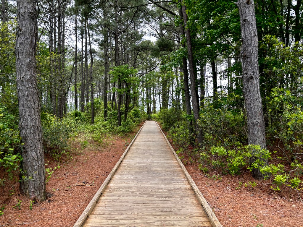
Our last activity in Cape May, New Jersey was a Whale and Dolphin Watching Cruise.

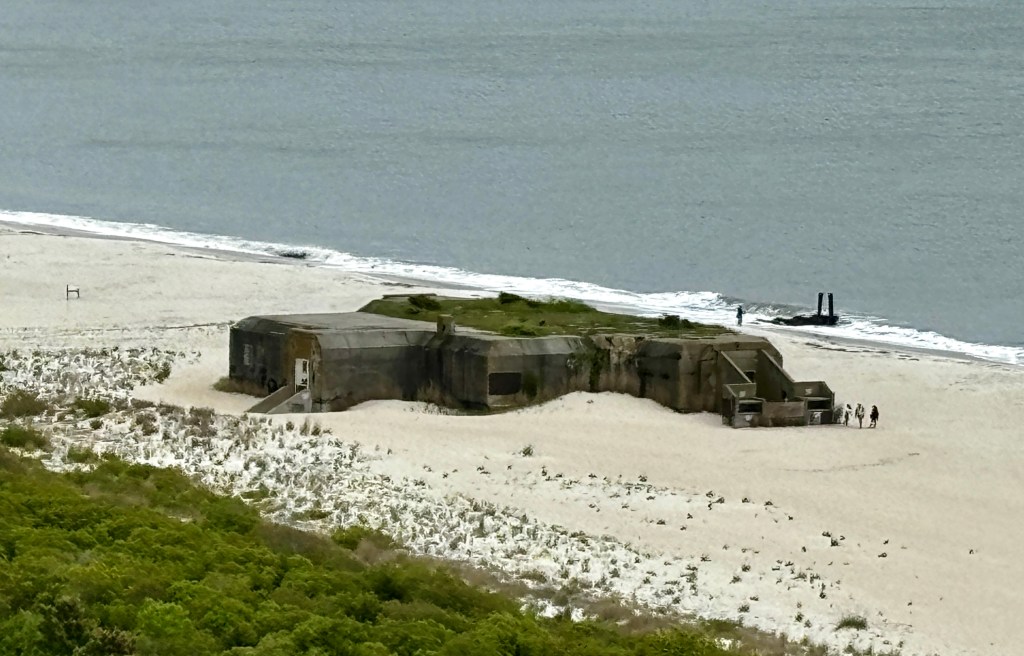
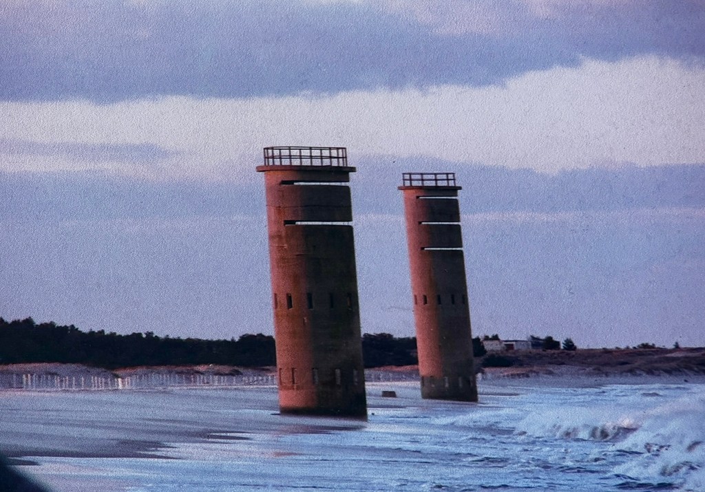
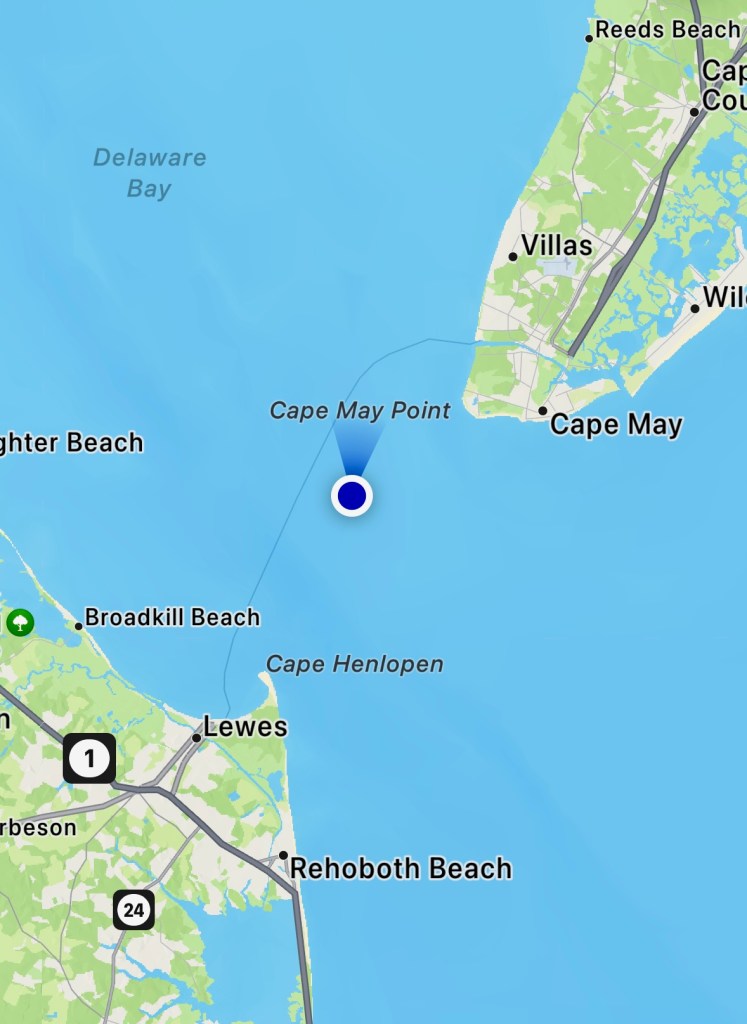
We sailed through the Cape May Canal, a 3.5 mile canal dug by the Army Corps of Engineers in 1942. 

It enabled captains to avoid the German submarines they would have been exposed to if required to go around Cap May point.

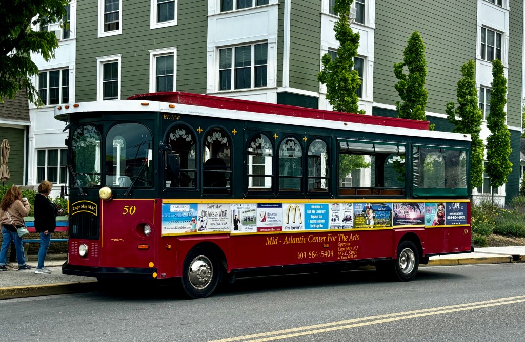
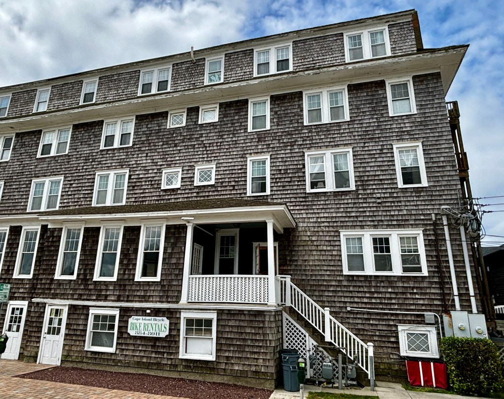
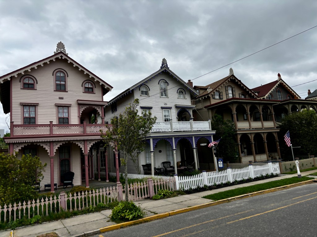
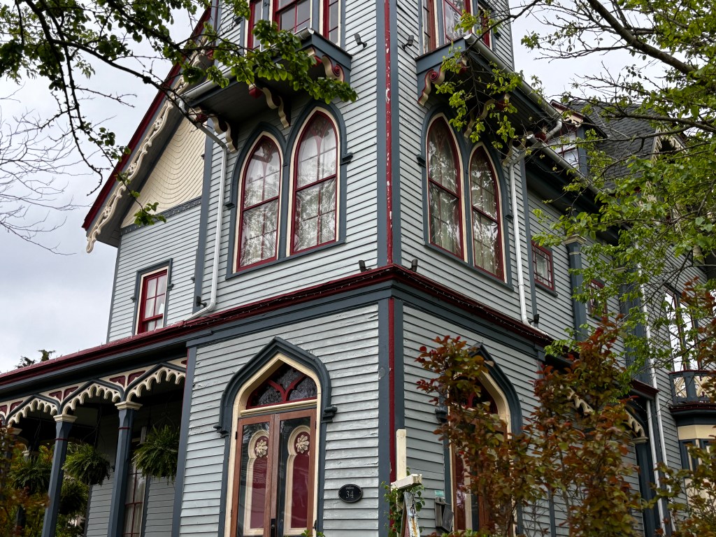
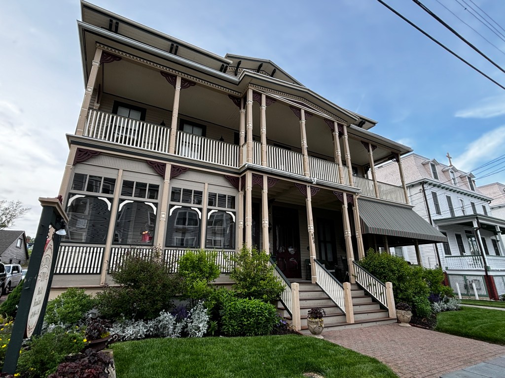
Currently, we learned that tourism and fishing are the basis for Cape May’s economy. 

There is also a Coast Guard Training Center at Cape May, training 3000 recruits a year.  It is the only US Coast Guard training center in the US.  Training takes eight weeks.   We learned that many trainees, or those stationed at the base, often return to Cape May when their service is complete.

Coast Guard ships are named after enlisted heroes.

The Lawrence Lawson is named to honor Lawson’s service as a US Lifesaving Service station-keeper in Evanston, Illinois. He led his oar-powered crew into icy, stormy waters and rescued the crew of the steamship Clalumet on Lake Michigan in 1889.

The Angela McShan was named for the first African-American to be appointed an instructor at the Chief Petty Officers’ Academy and later the first to be promoted to Master Chief Petty Officer.  

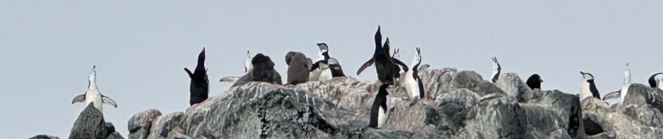
We came out into the bay and saw bottle nose dolphins. 

We never got any good pictures as they move very quickly. Gray on gray on gray didn’t help either.

We had crew serving as spotters and narrator.  He told us that a female dolphin goes back to her matriarchal pod when expecting.  Dolphin gestation is 12 months.  She also nurses her young for 12 months. 

Dolphins employ cooperative fishing in their pods and each dolphin eats 10-15 lbs. of food per day.

Bottlenose dolphins can be seen near Cape May from April to December because the water temperature is usually 50 degrees or higher. They do not have natural predators but are injured or killed by boat strikes, pollutants and trash. 

Wild dolphins can live for 45-50 years.  Those in captivity live about 5 years.  The Flipper TV series was on for less than three years and went through five dolphins.  

These are the remains of an experimental concrete ship, the S.S. Atlantus.  It is one of 13 concrete ships built in WWI. It has been receding into the bay since it ran aground in 1926.

After exploring the shoreline of the bay, we went out to sea in search of whales.  Unfortunately, and despite the odds, we never saw whales.

We felt badly for those who really wanted to see whales but we have had the good fortune to see them many times. We were perfectly happy with the dolphins.

The next day we departed for Philadelphia and, for at least the second time, had low pressure in one of the tires.  Randy had already filled the tire once or twice and here we were doing it again.

You may remember we were given an “upgrade” to a mini van in Baltimore.  Considering our experience with Enterprise thus far, we were highly skeptical about whether the intake people at the Philadelphia airport would really fix the tire even if we told them about it.

We weren’t happy about it but felt like we needed to just get the tire fixed for two reasons.  First, the car was going to sit in a parking garage for two nights and we didn’t need a flat when we headed to the airport early in the morning.  Second, it was a mini-van likely to be rented by a family with kids on vacation and they didn’t need to deal with a flat tire either.

I called Enterprise and they directed us to a tire repair shop in the general direction of Philadelphia.  We were told that the tire service would be pre-approved by the time we got there.  Except it wasn’t. 

We told the service consultant to just fix the tire, thinking we’d be out the $15 to have it repaired.  Credit to him, he kept pursuing Enterprise approval and got it.   The tire repair just cost us some time.

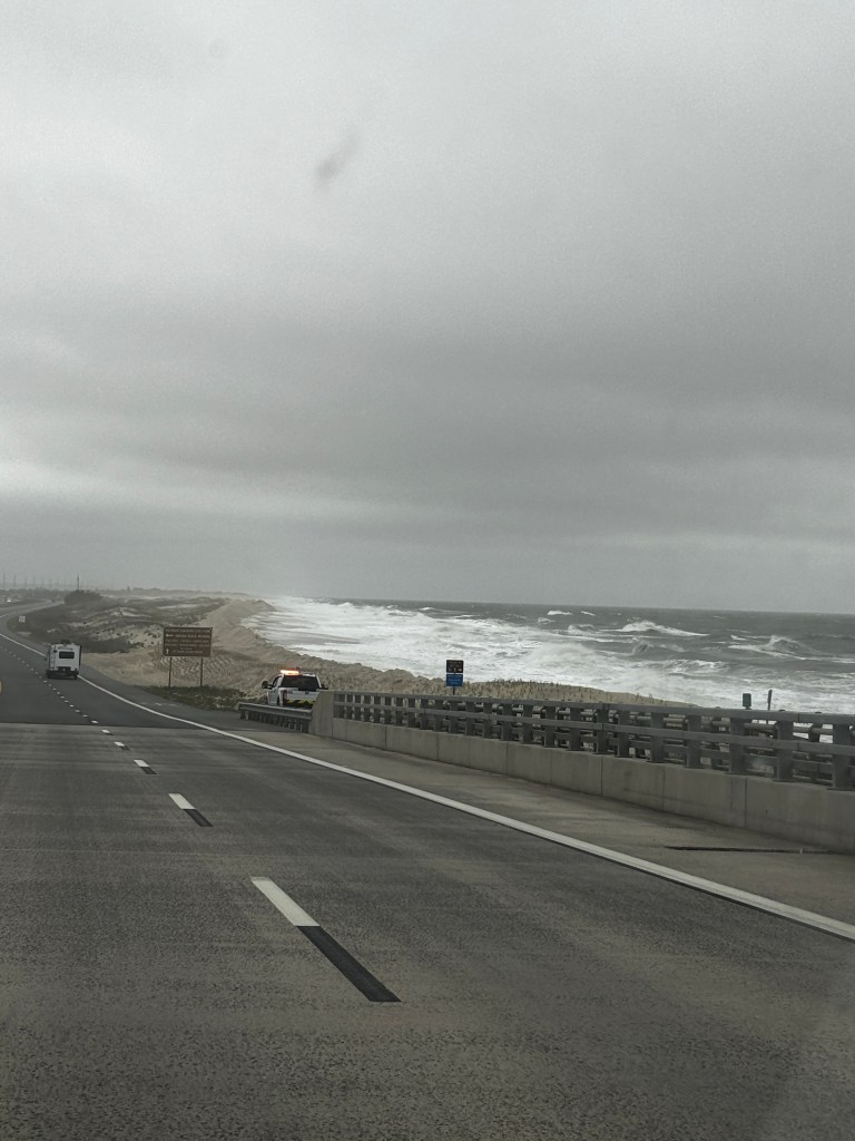
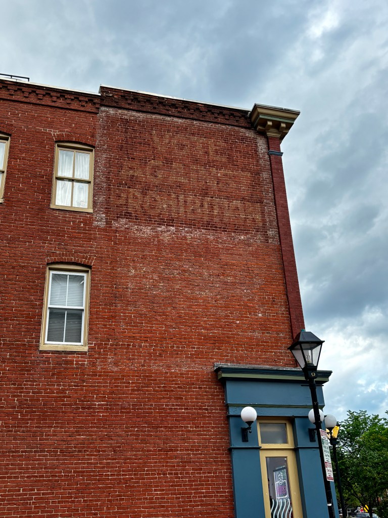
We took a bit of a detour to go to Atlantic City, New Jersey and visited the boardwalk.  We were there early on a dreary weather day, so there wasn’t much going on.  We saw enough of Atlantic City to think we aren’t likely to go back.

We did spend a little time walking on the beach though, something we’d hardly done on this trip to the eastern seaboard!

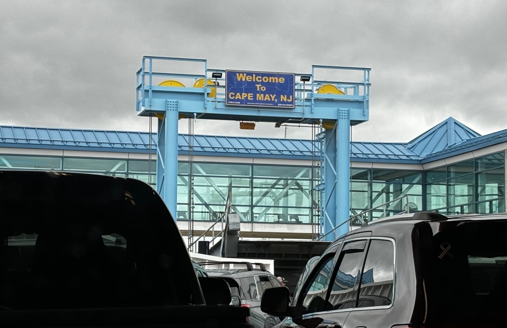
We had been paying road tolls here and there and had to pay to cross this bridge.  Apparently you pay this direction (leaving New Jersey into Pennsylvania) but not in reverse.  The joke we heard later in Philadelphia was that you had to pay to leave New Jersey, but not to go into it. That is not a friendly neighbor perspective, and we certainly don’t have a broad view of New Jersey, but Cape May was delightful!

We arrived in rainy Philly and made it to our Bed and Breakfast Inn, The Thomas Bond House.

Thomas Bond, 1712-1784, was born in Maryland.  He trained as a physician and surgeon in Europe.  He worked in Philadelphia and contributed greatly to medical science in early America.  He, with his friend, Benjamin Franklin, founded the Pennsylvania Hospital in 1751, the first public hospital in the United States.  He was on the first Board of Trustees for the College of Philadelphia, now the University of Pennsylvania.

The house was built in 1769 by Dr. Bond and additions were made in 1824 and 1840. 

The house served as a residence until 1810 and then as a stocking factory, leather tannery, leather goods manufacturer, rag supplier, customs broker and retail shop.

It was restored as a Bed & Breakfast in 1988. 

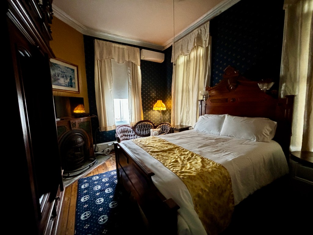
Our second floor room was very, very nice.

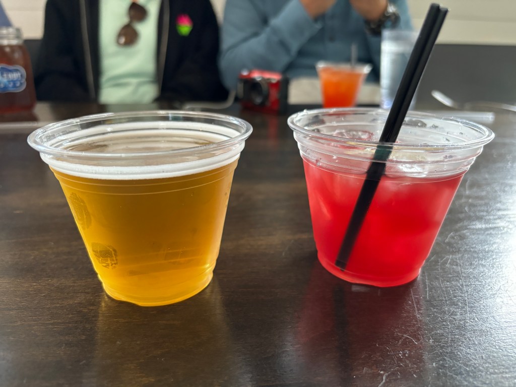
We set off to find Philly Cheesesteaks.  I got mine “wit-wiz” with beef, grilled onions and cheese wiz.  

Randy had his loaded with provolone, peppers, onions and mushrooms.  We both liked mine better.

Our next activity was the Phillies baseball game. When I had tried to buy tickets on my baseball app for the Phillies vs Nationals baseball game, I could not get the purchase to go through – over and over.  Eventually I figured out the problem was that “select games are available only to those with addresses in the Tri-State area of PA, DE and NJ.”  That was surprising considering there were still tickets available and it was the day of the game.  I had to buy our tickets from Ticketmaster, a re-seller.  They did not care that we weren’t from the tri-state area.

We got directions on how to use the subway system to the game.  That required a ten minute walk to get on the blue line going west and then changing lines at the city hall station to get on the orange line going south to the sports complex where the Phillies, Flyers, 76ers and Eagles all play.  It was another ten minute walk to get to Citizen’s Bank Park.

We found that our seats were open to the rain so we moved several times in covered areas until people came to claim their seats. Eventually, the stadium filled up so we went to our own seats.  By then the rain was a mere mist and not a problem.

There were military parachute jumpers entering the stadium as game preparations  continued.

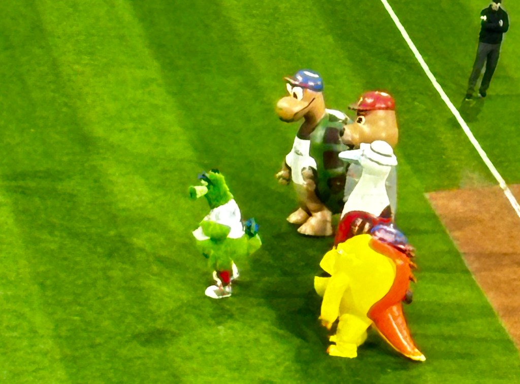
We were entertained by the original mascot, the Philly Phanatic. The Phanatic was portrayed from 1978 to 1993 by David Drummond.  From 1993 to present (2024) the Philly  Phanatic has been portrayed by Tom Burgoyne.  That is two people in 46 years!

The other thing we noticed at the game was one of the most enthusiastic waves around the stadium we have ever seen.  When stadium crowds around the country are getting annoyed with the wave, it was interesting to see Phillies fans embrace it so completely.  Hey, it was a good time to be a Phillies fan. At the time of our visit, they had the best record in baseball.

It was a great game and the Phillies ended up winning in extra innings which made the home crowd happy.  We didn’t really care, but our reversed subway ride was jovial.

Our ten minute walk from the subway stop to our B&B felt a little dicey after dark.  There were lots of people around so it didn’t feel overtly dangerous, just not comfortable.

We had a good night’s sleep and were ready for Philly Day 2

We were in Philly in May 2024.

Posted in Uncategorized | Leave a comment

Cape May: Aviation Museum

Randy was in a ‘limited participation’ mindset on visiting museums but it was still raining. So, we chose a museum of interest to him, an Aviation Museum in Hanger 1 at the former Naval Air Station Wildwood.

The Naval Air Station operated from 1943-45 to train navy pilots in dive bombing techniques.  In October 1944, there were 17,000 take offs and landings, one every 40 seconds. Trainees flew at night, simulating their future duties in the Pacific.  Practice targets were constructed in Delaware Bay and the Atlantic Ocean.

In 36 months, there were 129 crashes resulting in 42 deaths. 

During WWII, there were 22 all wooden double wide hangars built to support training navy fighter pilots.  Each hangar had over 4400 windows and covered 92,000 square feet.  Hangar 1 is the only one of its kind left.

After the war, dentist and Navy pilot Dr. Ralph Cox operated a low fare airline called United States Overseas Airlines out of Hanger 1.  With 18 planes,  Overseas Airlines was a safe and reliable carrier. It made flights within the country, to Hawaii, and to other places around the world.  The airline ceased operations in 1964. 

Hangar 1 deteriorated over the following years. Dr. Joseph Salvatore purchased it for $1 from the county with the intention to establish a group to restore the hangar and open it as an aviation museum.  The museum opened in 1997.

The museum has aircraft, of course, but also a variety of other exhibits.  Having read a number of novels about British efforts to break the German Enigma codes at Bletchley Hall, it was interesting to see an Enigma Machine.

This plane, silhouetted against the many windows in Hangar 1, is a Northrop F-5E Tiger  II.  This plane was, reportedly, the ‘aggressor’ in the original Top Gun movie.

Randy’s checking out the TBM Avenger.  It was a torpedo bomber.

Not an aircraft, but a 41 foot Coast Guard vessel.  It was used for search and rescue as well as law enforcement.

This was the exhibit that was most interesting to me – All Available Boats.

It had a number of information boards about the various boats, retired boats, captains, agencies and volunteers that responded to the 9/11 attacks in NYC.  There were a myriad of coordinated, and uncoordinated, efforts to get people away from the island of Manhattan.

This 1969 Sikorsky helicopter was deployed on the US Coast Guard Ice Breaker, Polar Star, in waters off Alaska.  

The Polar Star and sister ship Polar Sea are the oldest icebreakers in the coast guard fleet. A third, USCGC Healy, was commissioned in 1999.

Another section of the museum focused on the contributions of women in service to the country.

That included a display about the WASPs – The Women Airforce Service  Pilots.  The WASP were 1102 female civilian pilots who flew missions (bomber, cargo, drone, training and transport) accounting for over 60,000,000 miles during World War II under the command of the US Air Force.  We first learned about the WASPS at a museum in 2016 and have appreciated seeing reference to them since.

We also saw a display about the WAVES – Women Accepted for Volunteer Emergency Service into the Navy.  There were 8000 female officers supervising 80,000 female enlisted personnel performing a variety of tasks for the Navy.  By the end of the war, they accounted for 2.5 percent of Navy personnel.

This is a Lockheed TWV Seastar that operated from 1953 – 1970.  There were a dozen or so planes presented with only statistics. An airplane must have a “story” to be of much interest to me – like the plane below.

This F6F-3 was put into service in 1943 with a squadron from California.  After returning in 1945, it was ditched at sea by its pilot twelve miles off San Diego.  Twenty-six years later, it was retrieved from 1800 ft. below the surface.  The plane was in excellent condition.  Unfortunately. it did not receive additional care and it deteriorated.  The plane was later acquired by the museum and restored.  It is the only surviving Hellcat of over 4000 that were built.

These are students on a field trip.  We visited quite a few places on this trip along side student field trips.  It sure brought back memories for me!

While we were there, the staff were preparing for a wedding to be held at the museum.

The photographer was doing the artsy shot!

We went outside to see more planes but by then my interest and note taking was not what they could have been.

Now this was familiar from all those years watching MASH.

We were in Cape May in May 2024.

Next Up: We pay to go to Philly!

Posted in Uncategorized | 1 Comment

World War II Tower and the Cape May Lighthouse

Tower operations were directed by Fort Miles and tasked with protecting the area from incursion by German ships and troops.   However, they found that the real threat was from enemy submarines which destroyed hundreds of merchant ships, many within sight of land.

In the 1940s, the Navy, Army and Coast Guard all had bases near Cape May.   This is Cape May’s World War II Tower.  It was one of fifteen towers to monitor activities at sea to protect the Delaware Bay.  This is the only tower still intact in New Jersey. 

In 1942 the entire eastern seaboard was designated a military area and Cape May residents and visitors had to comply with black out measures to reduce risk.

Men assigned to the tower watched the waters and provided coordinates to the battery on the beach to initiate an attack.  

This tower had only one viewing slit at the top while some others in Delaware had two or three.  Only one was deemed necessary because this tower was connected with only one battery. 

In 1943, the allied effort gained ground and military efforts around the world became more offensive than defensive.  The improvement in amphibious warfare rendered permanent fire towers like these less useful.

The tower walls were made of one-foot concrete poured in place.  The tower is seventeen feet wide with an interior that is fifteen feet in diameter.  The walls were reinforced with iron bars but almost everything else was made of wood.  Metals were needed elsewhere in the war effort.

The stairs go six floors up to the scouting area.  

There were displays positioned on different floors.

This phone was used to relay enemy coordinates down to the battery on the beach.

The docent at the top was very interesting with his facts and stories about the World War II tower.

From the top, we could see our next destination – the Cape May Lighthouse.

Here is a closer view of the Cape May Lighthouse.  It was built in 1859 and is 157½ feet tall. This is the third lighthouse near this site.  The first two, built in 1823 and 1847 were lost due to unstable shoreline and poor construction respectively.

It is one of the oldest continuously operating lighthouses in the country.  It went dark during World War II, when all lighthouses did the same guarding against enemy submarines.

The cost to build the Cape May Lighthouse was $40,000.  It is wider at the base than at the top.

There is an inner wall and an outer wall.    The outer wall is just short of four feet thick at the base tapering to one and a half feet at the top.

The inner wall is 8 and a half inches thick for the entire length.  These openings between the two walls were placed throughout.

There are 199 steps and six landings.  The light house operated for the first six years without any railings.  The outer railings were added in 1865.  (The inner railings were added in 1988 for tourists.)

The original Fresnel lens cost $15,000 and is on display at the county museum.  This is just one component of a Fresnel lens.

The lighthouse now uses a Visible Rotating Beacon manufactured in New Zealand and installed in 2016.  This is the current industry standard.

The lighthouse generally had one keeper and two assistants.  They, and their families, lived on site.  

For a time, the main lighthouse keeper was a woman.

The lighthouse was automated in 1936 eliminating the need for keepers to be permanently in residence.

In 1992 the lighthouse was transferred from the Coast Guard to the State of New Jersey.   Restoration and visitor operations are done by a non-profit group formed for that purpose.

On the lighthouse grounds, we also saw the Monomoy Life Saving Boat.  Its era was from the late 1800s to the 1930s and was operated by US Lifesaving Service and early Coast Guard.

The boat is 26 feet in length from the late 1800s-1930s.  The “Monomoy” Class rescue boats originated in New England and were regularly used in Cape May area Life Saving Stations.  They typically weighed over 2,000 Ibs. and allowed for eight rowers to sit in four pairs side-by-side.   A coxswain steered from the stern.

After all those steps up and down the tower and up and down the lighthouse, we were ready for an early dinner.   We took the advice of the tower docent and went to an Italian restaurant away from the tourist areas.  He had also told us there was nearby liquor store to BYOB. We had seen that advertised a few places on the eastern seaboard and it seemed very odd to us.  We weren’t sure if that meant that the restaurants didn’t have their own bar service.

We found the restaurant and Randy went to buy a bottle of chianti while I went in to get a table.  I was a little embarrassed to see they did offer wine on the menu.  When I apologized that Randy was buying a bottle, the restaurant owner was not offended in the least.   He said when people BYOB it removes his responsibility for how much a patron drinks. That was an interesting perspective.

We enjoyed our bottle of chianti and our delicious dinner! The best meals we had on this trip seemed to be Italian!

We were in Cape May in May 2024.

Next Up:  More Cape May, a delightful place!

Posted in Uncategorized | 2 Comments

Cape May – The First Seaside Resort

As we had taken the early ferry from Delaware, we arrived in Cape May mid morning.  We had hours before we could check into our historic Bed & Breakfast.

We thought we would begin with a trolley tour.  It departed from the historic square area an hour later so we walked around a bit first.

We came upon the bell from the SS Cape May.  The ship was built in 1943 and served in World War II. It later served in peacetime commerce and was retired in 1969.  The ship’s bell was presented to the city in 1974.

We boarded the trolley and began a tour of Cape May, our nation’s oldest seaside resort.  It was used as a summer escape as early as the 1700s.   Residents in Philadelphia, Baltimore and Washington were flocking there from the early 1800s. Back then the town was more accessible by water than by land

The number of pilgrim era descendants in Cape May is second only to Plymouth, Massachusetts.

In 1851 there were three casinos in Cape May.  When a woman from New Orleans won $1,000,000, they banned women. 

Our tour was an interesting description of the Victorian houses and residents. This house was built for $1800.

This is the Inn at Cape May. Both Wallis Simpson and Estée Lauder liked to give parties at the inn.

The use of shingles as siding was invented in Cape May.  We’ve seen that weathered gray shingle look on both coasts. 

This house was once owned by the Stetson family.  The new owners found lots of hats in boxes when they moved in.  They threw them out.

This yellow house was built by the brother of Norman Rockwell.

In 1878 a fire destroyed 40 acres on the west side of Cape May.   The fire started in a hotel.  The Pinkerton Agency investigated but could not determine who was at fault.  No one was ever charged.

After the fire, some smaller “summer homes” were built instead of rebuilding the large mansions and hotels. These eight cottages were built for a total of $50,000.  

We walked by them several times and liked to notice the subtle differences.

Cape May was named a National Historic City in 1976 based on the number of Victorian homes. Cape May buildings have the most original stained glass of any city in the US. 

At the end of our tour, it was time to find our lodgings.

We stayed at The Bedford Inn, one of the top five Bed and Breakfasts in Cape May.  Victorian Bed and Breakfasts and boutique hotels are far more common in Cape May than chain hotels.

Built in 1883, the Bedford Inn features 10 guest rooms with period antiques. 

It is described as a “mother-daughter” house, side-by-side front doors that open to parallel stair- cases and separate living quarters.  Once a family home, it was converted to apartments, then a bed-and-breakfast.  A passage- way was opened to join the two homes to become one.   The subtle exterior is more representative of the Victorian style than the bright colors often seen.

The interior has dark woods, ornately furnishings, gilded mirrors, floral carpets, and vintage lighting.

There was one bedroom on the ground floor and it was ours.  That was a nice thing when we didn’t have to carry our suitcases upstairs but not so great when people sat outside our window talking well into the evening.

One morning, we visited with sisters who meet at the Bedford Inn yearly. They have developed a delightful routine of breakfast at the inn, relaxing, ice cream for lunch, reading, wine at 3:00 and then dinner at one of Cape May’s many wonderful restaurants.   What is possibly better than that?

Overall, it was a delightful stay. 

We were in Cape May in May 2024

Next Up: More Cape May

PS  Blog Post #400

I interrupt our trip to the East Coast to make note of this, our 400th blog post.  Have you been with us since the beginning?  

Randy started, named, and wrote the first few posts himself as we were preparing to sell our home and possessions in Boise and launch our full time RV adventure.   

I wrote us through our RV life from the summer of 2014 to the summer of 2018 when our plans were derailed by health issues.  

I continued to write as we chose to leave the RV, and the road, and remain in the Phoenix area.  Since the summer of 2019, our posts have highlighted our adventures living in Arizona and our travels in the US and internationally.  At this point, I still enjoy writing so plan to keep on.  

I tried to determine a list of the most read posts over the years.  I sometimes look at the stats and reports and always see that there have been readings of What’s Under the Lake?.   I assume it must have been tagged by the town, state park or tourist site in Cascade, Idaho because that post has had over 1700 views.  The post was fine,  but it was not that much better than the rest!

Other posts that have been read repeatedly are No Body Contact With the Water and Our “Problems” With Antelope Canyon…

The post that we have read again and again is Elko’s Last Blog.  Randy read it everyday for a whole year after we lost our boy.  Many of you may remember it too.  His people loved him and he knew it every day.

Whenever you joined us, and whatever your favorite post might be, thanks for coming along!

Posted in Uncategorized | 4 Comments

A Stormy Time at Rehoboth Beach

Delaware was another new state for us.  The Welcome to Delaware sign along the highway was small and gone before I was prepared to take a picture.  

There was a visually interesting bridge.  The Indian River Inlet Bridge (officially called the Charles W. Cullen bridge) was built in 2011.  It is the fifth bridge built to span the river.  The first, made of wood, was built in 1934. A concrete and steel replacement was completed in 1940 but collapsed due to ice flows and wind in 1948.  The 1952 replacement held up until the epic Nor’Easter storm in 1962 leveled much of the area.  In 1965 a steel girder bridge was built and declared structurally deficient in 1989. It was maintained until 2005. Whew!  That was a lot to learn when I just wondered about the name of the cool bridge!

We knew we were at our destination when we saw the water tower sign for Rehoboth Beach.  Water tower signs were commonplace along the outer banks and in eastern seaboard towns.

The plan for the day was to enjoy the Rehoboth boardwalk but it was a windy cold day.  

The next thought was to go to the First State National Historic Park but their visitor center was closed for renovations.  In the video on the park website, I learned that Swedish immigrants came to the region in 1638 near present day Wilmington.   They named their settlement Fort Christina after the young Queen in their homeland.  The Dutch took over this region and then the English did the same.  

From the beginning, Delaware included peoples of different origins and religions, It was unique in those respects.  The lands came under the jurisdiction of William Penn who worked well with the indigenous peoples. Those efforts waned under future leaders.  

In 1776, a local resolution was passed to separate not just from Great Britain but also from Pennsylvania. This action formed the state of Delaware.

In 1787,  Delaware became the first state to ratify the new US Constitution.

Years later, when Delaware was in position to be the last needed state to give women the right to vote by ratifying the 19th Amendment to the Constitution, they rejected the measure. Two months later, Tennessee became the 36th state to ratify the amendment, ensuring that the right to vote could not be denied based on gender. 

This was the wall behind the desk as we registered into our Rehoboth Beach hotel.  

The Delaware Blue Hen, the official bird of Delaware, is a strain of American gamecock. It is not a chicken.

We had a miserable weather afternoon in Rehoboth Beach.  It was the only day on our trip (full of marginal weather) that we gave up and enjoyed being warm and dry inside. Somehow I neglected to take pictures from our really great hotel room overlooking the stormy ocean. 

The next morning we boarded the ferry in Lewes, Delaware.

Randy drove our rental car onto the Cape May-Lewes Ferry.

Screenshot

The journey to New Jersey was 17 miles across and took 85 minutes.  It was pretty delightful. 

The ferry has transported 45 million passengers since 1964.

We were in Delaware in May, 2024.

Next Up:  We spend a few days in Cape May, New Jersey.

Posted in Uncategorized | 1 Comment

Wild Horses of Assateague

I read a book as a child that stayed with me.  I wasn’t a horse girl so I’m not sure why a book about horses made a lasting impression.

Misty of Chincoteague was written by Marguerite Henry and published in 1938.  It was a Newberry Honor Winner in 1948.  I probably read it around 1968.  There have been 165 editions published.  

Over the years, when I heard reference to the wild horses of Assateague, the memory of this book would resurface. When we decided to visit this area, seeing the wild horses on Assateague became part of the itinerary.

The origin of the horses, as explained in the book, is that horses were freed, or stranded, or marooned, on the island when a Spanish ship went down hundreds of years ago.  Over time, they became wild and adapted to a harsh landscape.

The more verifiable history is that 300 years ago, settlers on the mainland placed their animals on the island to pasture.  This allowed owners to avoid paying the grazing tax that would have been due if they kept their horses on the eastern shore of the mainland. (The horses roaming the island are descended from those original horses with DNA introduced from others over the centuries.) Again, over time, they became wild and adapted to a harsh landscape.

Native American’s used to visit the island known as Assateague.

In later years it had periods of tourist development that ebbed and flowed.  A massive development called Ocean Beach was in the process of selling almost 6000 lots when a Great Nor’Easter hit in the spring of 1962.  As only thirty lots had been built and everything in the region was leveled after the three day storm, Ocean Beach was abandoned. 

The epic storm set the stage for President Lyndon Johnson to declare Assateague Island a National Seashore in 1965.

We visited the Assateague National Seashore Visitor Center.

Assateague is a 37 miles long barrier island. It is the outermost point of the eastern United States.  The island is divided into the Maryland portion (Assateague) managed by the state of Maryland and the National Park Service and the southern half, managed by the state of Virginia.

The southern horse population is owned and managed by the  Chincoteague Fire Department.  They have a spring roundup where water cowboys round up  the horses to swim to Chincoteague for auction.  This helps to manage the population and create income for the fire department. Following the sale, the adult horses are then led to swim back to the main island.  The July 2024 version of the event is the 99th in history.  (The pony swim and round-up is the major plot line of the book I read so many years ago.)

We visited the north side of the island, and saw the horses managed by the NPS.  These horses are left to be wild with minimal human involvement.   

Of course, the horses can decide to come to civilization whenever they want.

The exception to human initiated involvement is to control when mares are able to be pregnant.  This is done by vaccinating selected mares by rifle dart.  This restricts the number of pregnancies each mare experiences. Fewer pregnancies in the herd keeps the mares healthier, the gene pool less saturated, and the herd size at a level the island can maintain.

This practice of supplying vaccines to selected mares was unproven when it was introduced more than 30 years ago but has proven very successful. The practice has been replicated in other places.

We went to Assateague twice, once in the evening and again the following morning.  We saw several groups of horses each time.

We learned that the Assateague horses appear bloated because they eat so much salty sea grass.  This necessitates them drinking a lot of freshwater available in island pools.

Walkways were constructed to assist in viewing.

There are many signs and reminders to stay back from all wildlife, including the horses.

In the visitor center bookstore, they sold the 60th Anniversary Edition of the book I read so long ago.  I bought it and read it again. That was coming full circle!

The visit, and re-reading the book, were both worthwhile. But, I’m still not a horse girl!

We were on Assateague in May 2024.

Next Up: Delaware – a new state for us

Posted in Uncategorized | 1 Comment

Harriet Tubman National Historic Site

The Harriet Tubman National Historic Site is one of many commemorating her along routes of the Underground Railroad.  

This site is a combined effort between the National Park Service and Maryland State Parks.

The girl who would become Harriet Tubman was born on the eastern shore of Maryland in 1822. Her childhood name was Araminta Ross.  She was born of people who were enslaved, the middle of nine children.

Araminta witnessed her older sisters being sold away and was haunted by the memory. Every time a white man came to the farm, they wondered who might be next.

At age six, the man who owned her began hiring her out to others.  One farmer had her hunting muskrats.  She suffered beatings as a child and the scars were evident throughout her life. 

As a young teen Araminta was hit in the head by an iron weight.  The weight was thrown at an enslaved young man but hit her.  Her skull was broken and she was still expected to do her work in the field. Araminta recovered over the next months but suffered from epilepsy and headaches throughout her life.  She felt her injury opened a direct connection to God that she relied on throughout her life.

“Minty” married a free black man named John Tubman.  In 1840, half of the blacks in Dorchester County, Maryland were free. 

Araminta changed her name to Harriet.  A short time later, learning that she was about to be sold, Harriet decided to run.   She had a strong reserve, physical strength and belief that God meant her to be free.

Harriet made it to Pennsylvania. Instead of going further north and enjoying her new freedom, she chose to go back and help family members, and others, escape to freedom.

It devastated Harriet that her husband John chose to stay in Maryland.  She “dropped him out of her heart” and went on.

Harriet returned to Maryland at least a dozen times, over a decade, and directly rescued 70 people as a conductor along the Underground Railroad.  Free blacks and sympathetic whites helped escaping enslaved people.  

Harriet never lost a passenger on the underground railroad.

When the Civil War began, Harriet worked as a nurse, a spy, and a soldier for the Union.

She eventually settled in New York and assisted with the Women’s suffrage movement.  Harriet Tubman died at age 85 in 1913.

In 1944, the SS Harriet Tubman was launched as a Liberty Warship in WWII, the first ship named after a black woman.

Harriet Tubman was honored with postage stamps in 1975 and 1995.

The Harriet Tubman $20 is set to be released in 2030.  The US $20 bill is the most used bill in the world.

We were at the Harriet Tubman National Historic Site in May 2024.

Next Up: A childhood memory revisited

Posted in Uncategorized | Leave a comment

Afternoon at Antietam National Battlefield

We visited Antietam National Battlefield which consisted of driving a self guided tour around the battlefield, the visitor center and the national cemetery. There are paths to walk along the driving route but as we were there for only an afternoon, our time was mostly spent on the driving route and visitor center.

Eighteen months into the Civil War, neither side could assume victory.  The confederacy, under General Robert E. Lee had been fighting well in Virginia.  He decided to cross the Potomac River into Maryland in September 1862.   This was his significant foray into lands occupied by the US Army.   He hoped to move through Maryland into Pennsylvania.

Lee’s Maryland Campaign resulted in four battles:  Harpers Ferry on September 13-15, South Mountain on September 14 and Antietam on September 17.   (The fourth battle, in Shepherdstown, happened while the Confederate soldiers were in retreat after Antietam.)

A US Army soldier found a copy of Lee’s plan of operations on September 13, 1862 which allowed General McClelland to arrange his armies.   Instead of returning to Virginia, Lee decided to make a stand at Sharpsburg, Maryland near Antietam Creek.

Confederate soldiers waited through the night around Dunker’s Church.

Clara Barton followed the army to battlefields to offer medical assistance.

At dawn on September, 17, 1862, US Army soldiers crossed Antietam Creek to engage Lee’s soldiers.  

Some of the earliest and deadliest fighting took place in this cornfield. The cornfield changed hands several times throughout the day.  

The fighting moved into the east and west woods.  (On this day we saw only a red tail hawk in the west woods.)

The open terrain benefited both armies as cannon fire could be set upon the opposite side.

Over 500 cannon (yes, the plural form of cannon is cannon) were in operation on the battle.

By late morning, the fighting shifted to Sunken Road, later named “Bloody Lane.”  It was the scene of a three hour stalemate.

US Army General Burnside took the lower bridge and Union troops crossed Antietam Creek.  This action made the confederacy retreat towards Sharpsburg.

By evening, battle lines had not changed substantially.  Of the 100,000 soldiers who fought, nearly 23,000 were killed, wounded or missing.

The Battle of Antietam was the single bloodiest date on American soil. Each man symbol represents 50 real men, including those who were killed, injured and missing.

On September 18, Lee retreated back into Virginia.  As significant as the number of casualties were, the defeat also denied Lee a victory on northern soil.  

The 1200 residents of Sharpsburg generally hid from the horrors of the battle. However, they were still left with damage to their homes and farms.  They were left with bodies, artillery  and ammunition in their fields.

This was the Mumma Farm.  The family fled to safety prior to the battle and the house was occupied by confederate soldiers.  It was burned by the confederacy to avoid federal sharpshooters using the site.  That was the only act of willful destruction to the Sharpsburg community by either side.  

Later, when the federal government was reimbursing people for property damage, it declined to reimburse The Mumma family for their loss as it was deliberate damage by the confederacy. The family rebuilt the farm.

Five days after the Battle of Antietam, President Lincoln issued the Emancipation Proclamation, expanding the Union’s purpose from reunification to include the abolishment of slavery.

Although the writing is not visible in the picture, this monument is for Clara Barton. She, with her staff of 30, did what they could to assist the injured and dying.  They were in this area for three days before moving on to the next battlefield.

There were a number of monuments to specific people or to groups of soldiers who fought in the Battle of Antietam. Nearly all represent Union people or companies as the south did not have the funds to do so after the war.

This monument is from The State of New York commemorating their soldiers.

This one is to commemorate Marylanders who fought.

At the visitor center, we saw this sculpture made of battlefield remnants of bullets, buttons, belt plates and more. It is not known for sure who the artist was, but he is assumed to be from Sharpsburg.

The docent at the visitor center wanted us to remember three things from our visit to Antietam National Battlefield. First, that people lived in the area before and after the battle.  Second, it was the single deadliest day on US soil.  Finally, the results of the battle denied Lee his northern victory, ultimately denying the confederacy international recognition and support which might have altered the outcome.

The Maryland Legislature created the Antietam National Cemetery with the intention to bury both the union and confederate dead there as a sign of unification.   It was the first land protected at the battlefield site.

However, lasting bitterness, and the south’s inability to fund burials for their soldiers, led to it only be used for Union soldiers.   Other cemeteries in the area hold confederate remains. More recently, soldiers and veterans of other warsincluding WWI and WWII, have been buried at Antietam National Cemetery.  Sadly, and not surprising, African American remains were segregated.

We were at Antietam National Battlefield in May 2024.

Next Up – Harriet Tubman

Posted in Uncategorized | Leave a comment

Morning in Harpers Ferry

We picked up our rental car in downtown Baltimore instead of going to get it at the airport.  The manager offered us a free “upgrade.”   The upgrade was to a mini-van which had lots of room we didn’t need.  Our rental was one-way Baltimore to Philadelphia. We thought maybe they were wanting to get the mini-van to Philadelphia, so we agreed.  (This rental car info will be relevant later in our trip.)

We were on our way to Harpers Ferry, situated on the eastern tip of West Virginia.  (No apostrophe is correct.) West Virginia was one of the four states we were visiting to be able to place stickers on our old RV map. 

When you drive to Harpers Ferry National Historical Park, there is a visitor center above and a bus that takes you down to the town at river level.

The historic park is administered by the National Park Service. 

It has sites developed to show what things were like in past days. There are also restaurants, ice cream shops and a hotel catering to visitors.

Of course, there are also buildings housing information about the history of Harpers Ferry.

We learned that Harpers Ferry was: A Town Wrought By Rivers,  Ravaged by Floods, Laid Waste by War, that Rises Again and Again.

The town is formed where the Potomac River cuts through the Blue Ridge Mountains and meets the Shenandoah River.  Robert Harper started a ferry across the Potomac in 1747.

George Washington chose to build a national armory in Harpers Ferry.  The picture shows the remaining foundation of a small arms depository. Additional foundation is below ground.

From the early 1800s, there were a variety of factories that helped fuel the Industrial Revolution.  Innovations at Harpers Ferry included manufacturing interchangeable parts for a rifle factory.  Articles for the Lewis and Clark expedition were manufactured there.

John Brown and his slave revolt is the part of the history that we knew a little about.  But we knew too little!  For example, neither of us knew that John Brown was a white man.    

John Brown had been a prominent abolitionist leader for decades.  He had strong religious convictions and believed he was an instrument of God to help stop slavery.  

He believed in the “golden rule” and in the Declaration of Independence that stated “all men are created equal.”  After peaceful efforts had failed to produce results, Brown grew to believe that violence was necessary.  

John Brown reached national prominence in the 1850s for his radical abolitionism and for fighting, with his sons, in “Bloody Kansas.”   The state level civil war centered on whether Kansas would join the Union as a slave or free state.  

In 1857, the Dred Scott decision of the US Supreme Court ruled that Negros were not entitled to federal citizenship and that congress had no power to prohibit slavery. John Brown decided more drastic measures were needed.

In October 1859, Brown led a raid on the federal armory in Harpers Ferry. They occupied the armory and several other buildings. He intended to start a slave liberation movement. 

Seven of his men were killed in the raid and only a few enslaved men joined in.  Brown and his remaining men were captured by local militia and by federal troops under the leadership of Robert E. Lee.

This building is John Brown’s Fort where some of the fighting took place.  Brown was tried, found guilty and hanged.  He was the first person executed for “treason against a US state.”

The raid, trial and execution brought national exposure and helped propel the country to Civil War over the issue of slavery.

The town of Harpers Ferry changed hands eight times during the Civil War.  Mostly, it was under Union control. The United States Colored Troops marched through Harpers Ferry during the war..

Following the war, and the ratification of the 13th Amendment, Harpers Ferry became a symbol of freedom to people formerly held in bondage.

Before the war it had usually been against the law to teach an enslaved person to read.  After the war, Baptist missionaries founded Storer College to educate men and women of any race.  

John Storer was an abolitionist and humanitarian. He donated $10,000 to form the college.

Harpers Ferry was the chosen for the college because of the large population of African Americans nearby and the accessibility of abandoned government buildings.

Anthony Hall became the primary building of the Storer College campus. This building was used daily but became nationally significant in the struggle for equality. 

In May 1881, Frederick Douglass delivered his famous speech praising John Brown at Anthony Hall.

Twenty-five years later, Harpers Ferry hosted the Niagara Movement. It was a civil rights organization founded in 1905 by African American activists including W.E.B DuBois. 

The group wanted a “mighty current” of change so developed a Niagara Falls logo and had their inaugural meetings in Niagara Falls, New York.  

Their second conference, in 1906, was held in Harpers Ferry.  The town was considered “holy ground” for African American’s because of the efforts by John Brown.  Storer College also had the needed facilities.

The Niagara Movement was not well known, partially due to conflict with Booker T. Washington.  Differing philosophies led Washington to exert his power to stifle coverage of the Niagara Movement.  The Niagara Movement was the immediate predecessor of the NAACP.

We learned a lot on our half day exploration in Harpers Ferry.  There were layers and layers of history in Harpers Ferry both before and after the Civil War.

Next up:  We spend the afternoon at Antietam National Battlefield.

We were in Harpers Ferry in May 2024.

Posted in Uncategorized | 1 Comment

Baltimore History and Food Tours

This writing will combine two of the tours we took in Baltimore.  The first was a Historic Baltimore tour where we saw everything – and nothing at all.   We drove around in a van with a driver who was on a timer – we didn’t understand why at first. The second was a food tour – always a good time in our minds.

I have a few pictures taken when the target was on the side I was sitting.  For example, we passed by the Flag House Museum.

We drove by the first George Washington Monument built in the US.   The monument was completed in 1829. You must climb 227 steps to walk to top.

We were able to get out of the van at Fort McHenry to see most of a 20 minute informational video at the visitor center.

The movie was really well done so we were disappointed not to have seen the first part. The driver tried hard, but just didn’t quite get us there.

The video finished with the screen being raised to see the flag still flying over Fort McHenry.   We were not allowed additional time in the visitor center or grounds.  Hmmm.

We learned that there were thousands of row houses built for the dock workers in Baltimore.  Only Philadelphia has more.  We were told to notice the very small doors. 

Bricks were mandated for buildings in Baltimore in 1804 to reduce fire danger and because wood was needed for building ships such as the Baltimore clippers.

The wooden structures that remained were “grandfathered in.”  After years, and subsequent fires, there are only eleven wooden structures left.  Four of them are together.

Belgium bricks were used for ballast on ships on their way back to Baltimore.  They were then used to build roads in Fell’s Point.  Fell’s Point is now a Baltimore neighborhood but the community is  75 years older than Baltimore.

Our food tour was set in Fell’s Point – sometimes written with the apostrophe and sometimes not.   We saw evidence of the old B & O Railroad tracks as we walked.  That would be Baltimore & Ohio Railroad for those of you, like me, who are only familiar with B&O from Monopoly.

Our first stop was a Mexican restaurant called Chilanguas.  We thought that was a little odd, but the corn tamale fritters were so good, we didn’t question anything further! (I looked for a knock off recipe after the fact but was unable to find one.)  We also had Carne Asada Tacos, guacamole and chips and salsa.  The meal was perfect, but still unexpected, on a Baltimore food tour.

While walking to our next restaurant we had a typical Baltimore photo opportunity. Yes, it was raining again.

Nearby, we were told that this old tobacco warehouse was redesigned for luxury apartments.  Repurposing old warehouses along the inner harbor is a common thing.

On some of the old buildings, it is possible to see the old signs “leaking” through.  This one says Vote Against Prohibition.  We were told that Baltimore pretty much ignored prohibition and did their own thing.  

The bricks on buildings have also “woven” a bit over time.  Look above the lower window on the right.

Our next restaurant was more like what we expected. We were offered a local beer or sanga-rita.  Randy likes sangria and margaritas so he liked that combination. I don’t prefer either, so chose beer.

We had a small bowl of crab soup and then a crab cake with broccoli. The restaurant owner and one of our food tour compatriots discussed the merits of various types of crab and crab cake preparation. That all went way over our heads but it was interesting. This crab cake was very good.

Going upstairs and down at the restaurant we saw paintings of two “local” residents.

Billy Holiday spent her turbulent childhood in Baltimore partially raised by relatives and partially spending time at a Catholic reform school.

Edgar Allen Poe lived in Baltimore several times in his life.  He was the first American writer who tried to support himself exclusively by his writing.

Poe earned $9 for his most successful writing, The Raven.  He was on his way to becoming a household name when he went on a crusade against Henry Wadsworth Longfellow.  That caused him to lose the goodwill the Raven had provided him.   (The Baltimore football team is named after Poe’s The Raven.)

It is known that Edgar Allen Poe took his last drink at The Horse You Came in On Saloon.  (In addition to Poe notoriety, it also claims to be America’s Oldest saloon, having been established in 1775.)

Poe was found in a gutter in Fell’s Point and died at this hospital, possibly from alcoholism or rabies.  

He is buried in this church graveyard – another one of those drive by photos.

The mirror in our hotel room had this quote engraved in it: “There is no beauty without some strangeness – Edgar Allen Poe”

As we walked to our next destination we stopped at the Robert Long House. Built in 1765 , it is Baltimore’s oldest surviving urban residence.  It is known that Robert Long was wealthy because row houses were taxed based on street frontage.  This house and garden occupied two lots.

This church was built by Baltimore’s Polish community from 1880-1889.  It served as a place of worship, community center and point of contact for immigrants newly arrived.  It is now a physical therapy center.

The Broadway Market once held a variety of wares sold by venders in designated spots.

Humans were sold here as well.

Today the space is used for restaurants, farmers’ market and crafts.

As we walked by the Taharka Brother’s booth, the women on our tour received free ice cream for Mother’s Day.  The business is known for providing employment opportunities for young adults from some of Baltimore’s most troubled neighborhoods.

Our specific destination in the market was for Nepalese food.  Our guide told us she chose Mexican and Nepalese food to  represent the high number of immigrants that came to Baltimore.  Different groups came in waves over the decades through Locust Point Pier.

More than 1.2 million immigrants came between 1868 and 1914.  Baltimore was the third largest port of entry in the US during that time. Only New York and Boston received more. 

We had one more stop on a tour.  It was a pastry shop that gave us the opportunity for a hot drink and a variety of dessert bars and cookies.  

On the way, our guide gave her Nepalese meal to a homeless man.  We got the feeling that it wasn’t the first time.   She was an interesting and inspiring young woman.  In addition to leading food tours, she bartends and performs in drag.  She had very recently graduated from a Baltimore university and intended to use her Spanish degree to help Spanish speaking residents access health care more reliably.   Simone was memorable in the best possible ways.

We made our way back to our hotel room and took a last look out at Camden Yards.  The next day we were on to Harpers Ferry, West Virginia.

We were in Baltimore in May 2024.

Posted in Uncategorized | Leave a comment